Turn wildfire forecasting into utility action across corridors, substations, and service areas.
WildfireSight Z1 gives utility operations, wildfire mitigation teams, and leadership a shared wildfire risk picture for vegetation work, inspections, field staging, regulatory reporting, and executive communication.
*Alberta June to October 2025 MVP evaluation. Z1 is a decision-support tool. Operational decisions remain with utility authorities and established protocols.
Utilities manage broad service territories. Wildfire risk demands a narrower signal.
Transmission and distribution corridors, substations, critical feeders, and vegetation-management zones span vast areas. Broad public fire-danger products do not tell utility teams where to act first, which spans need immediate patrol, or where to concentrate vegetation work before conditions escalate.
Transmission and Distribution Corridors
Focus patrols, inspections, and vegetation work on highest-risk spans and zones rather than spreading effort evenly across broad service areas.
Substations and Critical Feeders
Monitor wildfire risk around high-consequence assets and surrounding fuel and terrain conditions with facility-focused intelligence.
Vegetation Management Prioritization
Use forward-looking risk intelligence to prioritize where crews should work first instead of following fixed cycle schedules regardless of risk conditions.
Field Operations and Restoration Readiness
Prepare crews, access, logistics, and communications earlier when wildfire risk is forecast to rise across service territory.
Regulatory and Executive Reporting
Create consistent risk summaries for leadership, regulators, municipalities, and Indigenous and community partners.
Shared Operating Picture
Z1 gives operations, wildfire mitigation, risk, and leadership teams a common wildfire risk view for coordinated action.
Earlier wildfire visibility for the assets that keep communities powered.
When wildfire risk rises near transmission infrastructure, utilities need time to position crews, coordinate contractors, adjust vegetation management priorities, and brief leadership and regulators. Z1 delivers the lead time that reactive monitoring cannot.
- → Up to six-month forecast horizon for seasonal vegetation management planning
- → Daily risk updates for field operations and corridor monitoring
- → Downloadable PDF reports for regulatory and executive briefings
- → Alert thresholds for escalation before operational windows close
- → 500 m mitigation zones for named substations and high-risk spans
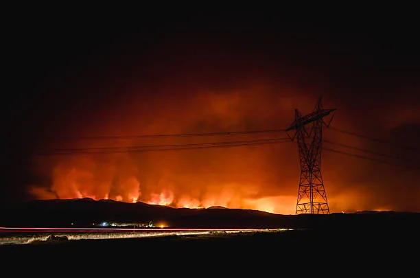
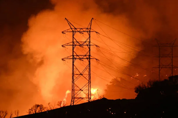
500 m zones for substations, spans, and vegetation-management areas.
The Precision Operations layer applies 5 km tactical and 500 m mitigation-zone intelligence to named infrastructure. Instead of monitoring broad regions, utility wildfire teams receive risk intelligence scoped to the specific assets and corridors where the consequences of wildfire are highest.
Precision zones can be applied to substations, critical feeder spans, access routes, overhead line sections with high fuel loading, and vegetation-management priority areas.
Explore Precision Operations
Questions from utility wildfire and operations teams.
Request a utility wildfire resilience briefing.
Tell us about your service territory and we will scope a Z1 deployment for your corridors, substations, and vegetation management zones.
- Corridor and substation wildfire risk review
- 500 m Precision Operations scoping for high-risk assets
- Seasonal vegetation management planning discussion
- Regulatory and executive reporting walkthrough